
# 50497
BORY DE SAINT-VINCENT, Jean-Baptiste (1778-1846)
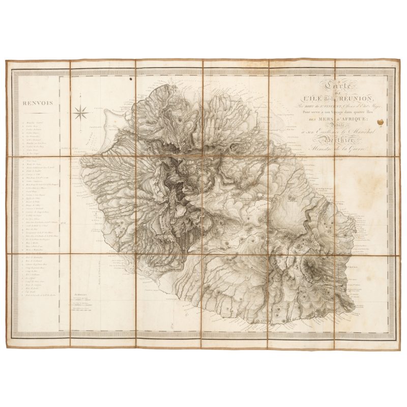
Carte de l’île de la Réunion, par Bory de S.t Vincent, officier d’État-Major, pour servir à son Voyage dans quatre îles des mers d’Afrique;
$3,500.00 AUD
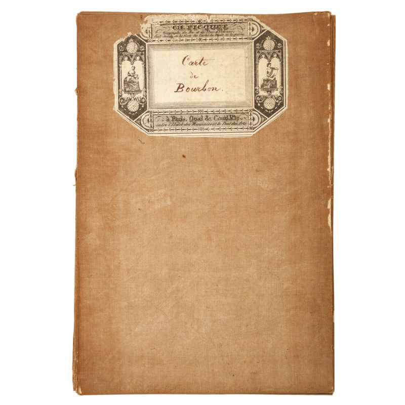
Dédiée à son Excellence le Maréchal Berthier, Ministre de la Guerre. [Paris, Dépôt de la Guerre, 1804]. Engraved map, dissected into eighteen panels and laid on linen, 645 x 860 mm., some light stains and wear along the folds, title label with manuscript Carte de Bourbon, a very good example.
The very rare separately issued version of Bory de Saint Vincent’s important large scale map of the island of Réunion.
Jean-Baptiste Bory de Saint Vincent, nephew to the famous naturalist Bernard-Germain de Lacépède, secured the position of Chief Botanist on the expedition of Captain Nicolas Baudin to Australia, departing Le Havre aboard Le Naturaliste in October, 1799. After stops in Madeira, the Canary islands, Cape Verde and the Cape of Good Hope, in March 1800 Bory de Saint Vincent left the expedition in Mauritius due to conflict with Baudin. He mounted his own small research expedition to Reunion and neighbouring Mascarene Islands in 1801-02, where he charted the volcanic activity and documented the flora and fauna. He named one of the craters of the volcano Piton de la Fournaise after his Professor, who he had learned had just died, and naming the summit after himself. The naturalist returned to France and in 1804, he published his Voyage dans les quatre principales îles des mers d’Afrique. His significant map with new discoveries, Carte de l’île de la Réunion, was published in the atlas volume as well as separately issued, in recognition of its importance as the first detailed scientific survey of the island.

