
# 49297
GEORGE PHILIP & SON
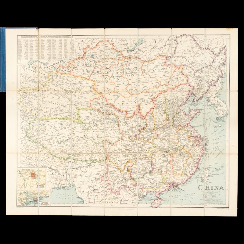
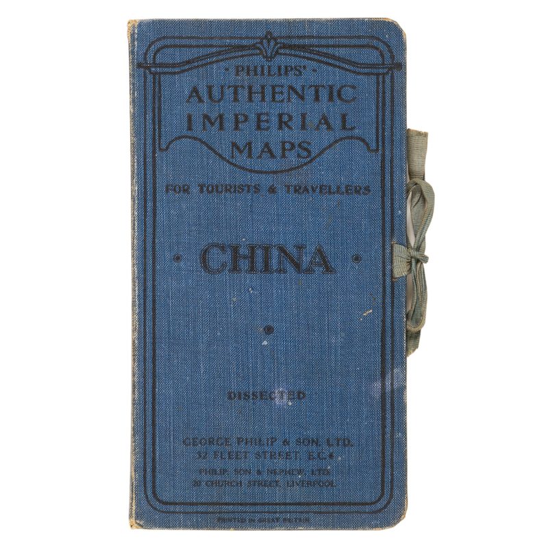
China
$400.00 AUD
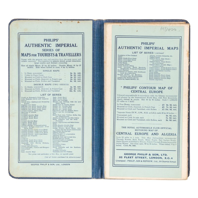
Philips’ authentic Imperial Maps for Tourists and Travellers. London : George Philip & Son, circa 1920. Map, printed in colour, 550 x 670 mm, dissected and laid on linen, in original publisher’s cloth case, inset maps of Peking, HongKong and Canton, showing the steamship routes, caravan routes and railways.
