


# 50391
RAND McNALLY & COMPANY
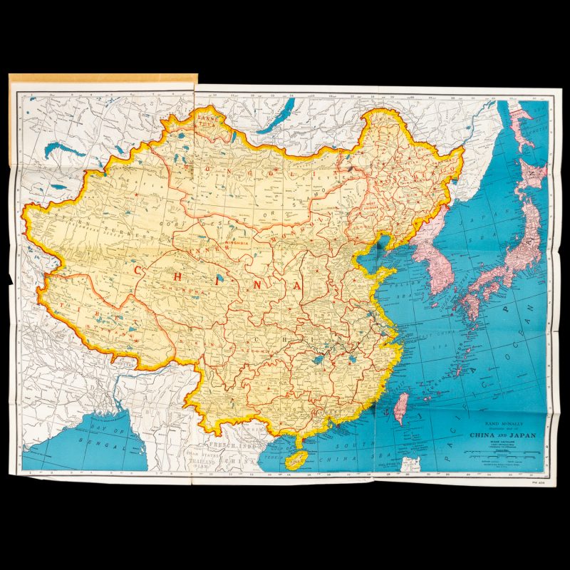
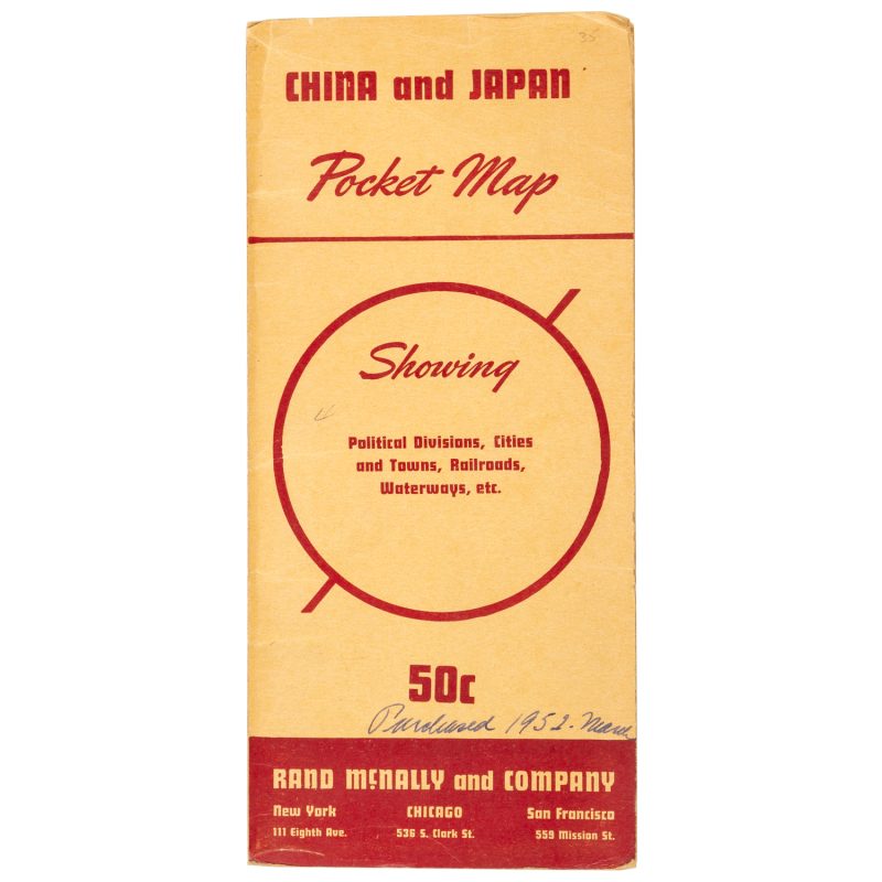
China and Japan pocket map showing political divisions, cities and towns, railroads, waterways, etc.
$250.00 AUD
[Cover title]. New York ; Chicago ; San Francisco : Rand McNally & Company, [c.1938]. Tall octavo folding card (235 x 110 mm), front annotated by the original owner ‘Purchased 1952 March’; containing the large folding colour map ‘Rand McNally Standard Map of China and Japan’, 500 x 680 mm, scale 1:8,744,000; verso with printed statistical information on lakes, mountains, rivers and towns in China, Mongolia, Tannu Tuva, Japan, Chosen (Korean peninsula), Taiwan, Karafuto (the southern half of Sakhalin Island), and Manchukuo (Manchuria); short tears to two of the folds, otherwise very good.
This edition of the Rand McNally Standard Map of China and Japan was published shortly before the Second World War. It shows the Korean peninsula, Taiwan, Manchuria and the southern part of Sakhalin Island all still under Japanese administration.

