
# 50465
MELA, Pomponius (c.15 - 45 CE)
De Situ Orbis Libri III.
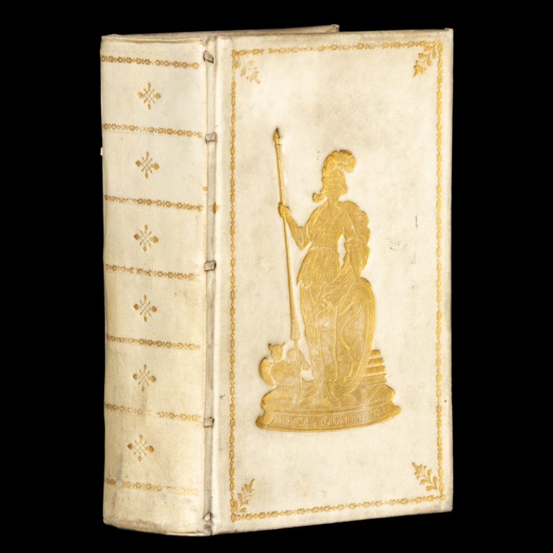
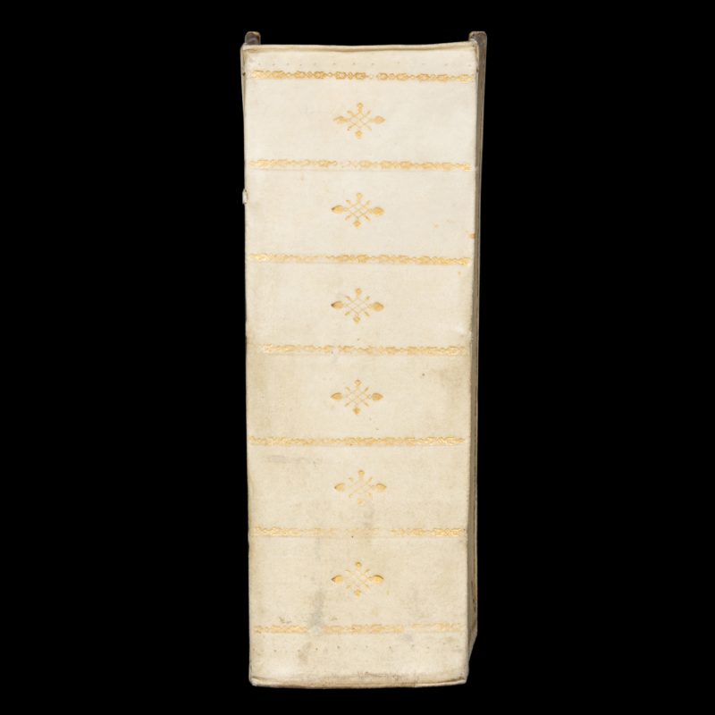
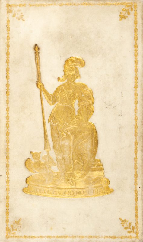
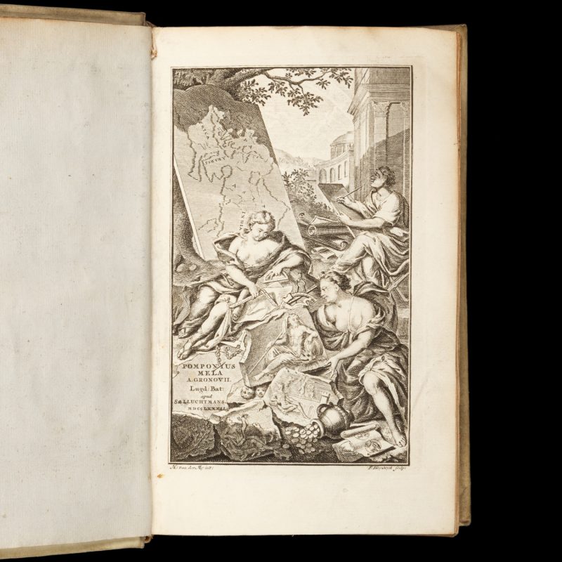
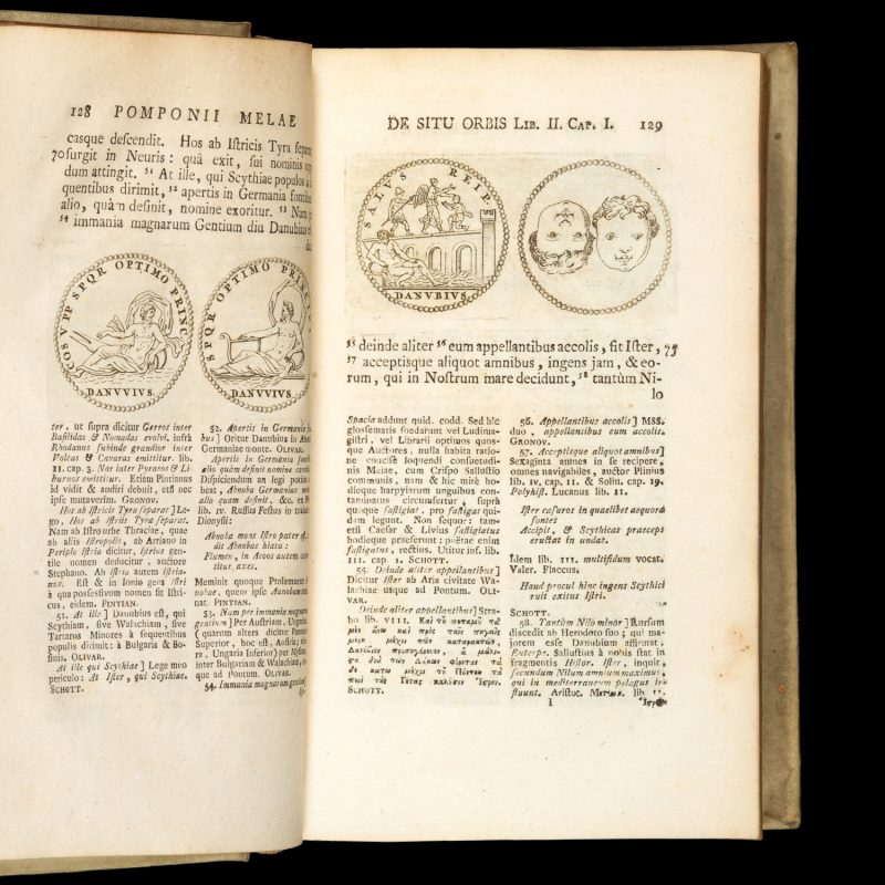
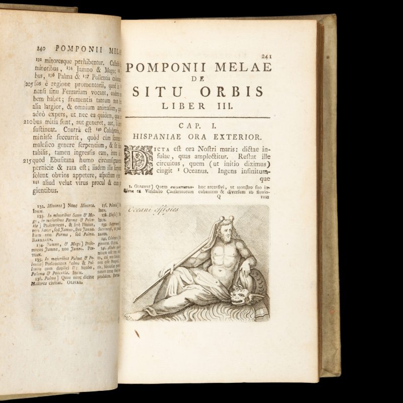
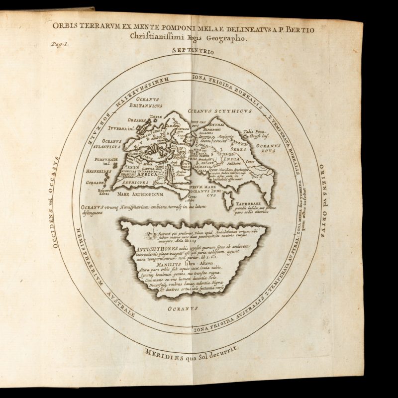
Cum notis integris Hermolai Barbari, Petri Joannis Olivarii, Fredenandi Nonii Pintiani, Petri Ciacconii, Andreae Schotti, Isaaci Vossii, et Jacobi Gronovii. Lugduni Batavorum [Leiden] : apud Samuelem et Johannem Luchtmans, Academiae Typographos, 1782. Third edition. Three parts in one volume, thick octavo (215 x 140 x 80 mm), in a contemporary academic prize binding of full vellum, both boards with decorative gilt borders and a central gilt device depicting Minerva, goddess of wisdom and the arts, holding a spear and a shield with the crest of the city of Den Haag (based on Minerva met het wapen van Den Haag, by Pieter Willem van Megen,1760-1785), with an owl on the left, a stack of books on the right, and the legend ‘Hagae Comitis’ below, spine with gilt decoration; front pastedown with 20th-century bookplate of the Chateau de Wolvenbosch (Wolvenbos, Belgium); allegorical engraved title-leaf, [10] leaves (including main title), engraved folding map Orbis Terrarum ex mente Pomponi Melae delineatus a P. Bertio Christianissimi Regis Geographo, pp. 1081; [54 Index], [1 blank]; illustrated with numerous woodcuts and copperplate engravings in the text; binding firm, very clean throughout, a fine example.
Pomponius Mela, the earliest known Roman geographer, followed the Greek intellectual tradition in positing that there must be a southern landmass to balance the northern hemisphere, inhabited by Antichthones. His work, comprising a full account of the then-known world, was first published in 1471, with many critical editions to follow. The Gronovius edition (first published in 1722, also by Samuel Luchtmans) includes the famous Mela world map where the southern continent is clearly defined.
Brunet 4, 801; Graesse 5, 402-3

