


# 50090
VERBIEST, Ferdinand (1623-1688)
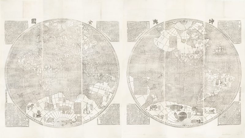
Kunyu quantu [A map of the whole world]
$95,000.00 AUD
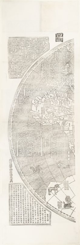
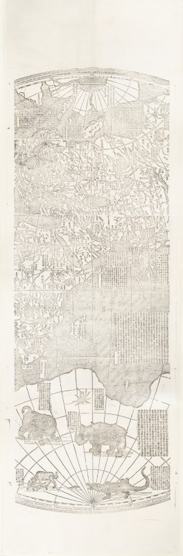
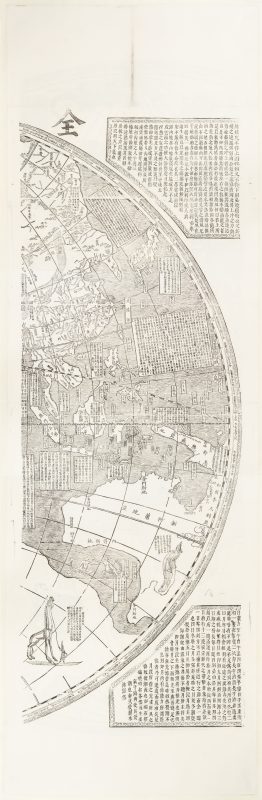
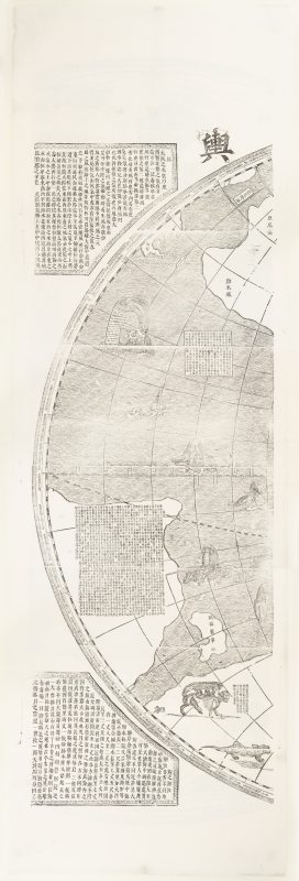
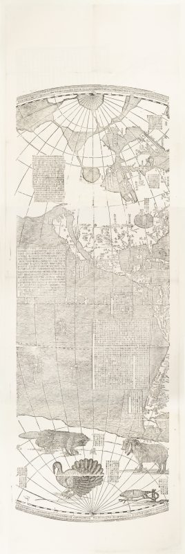
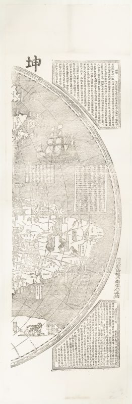
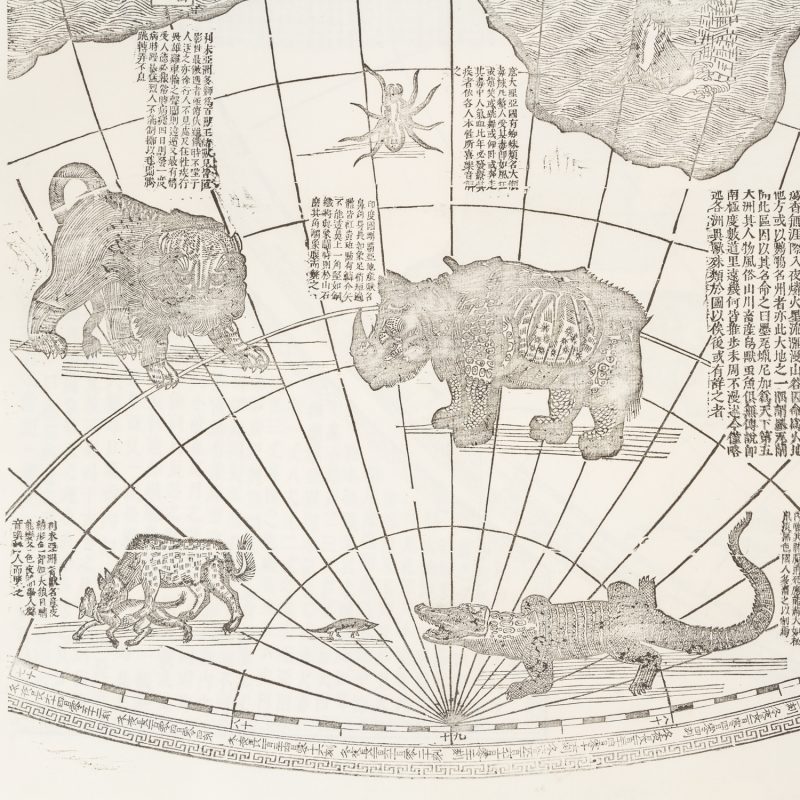
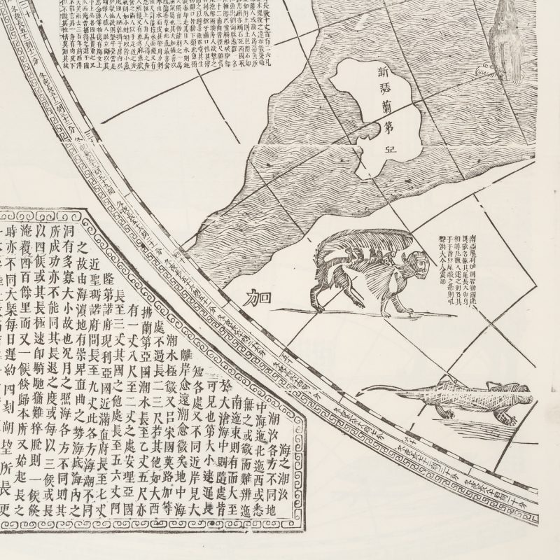
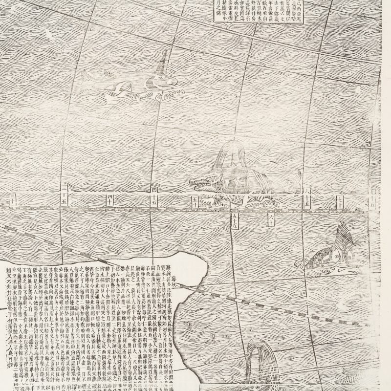
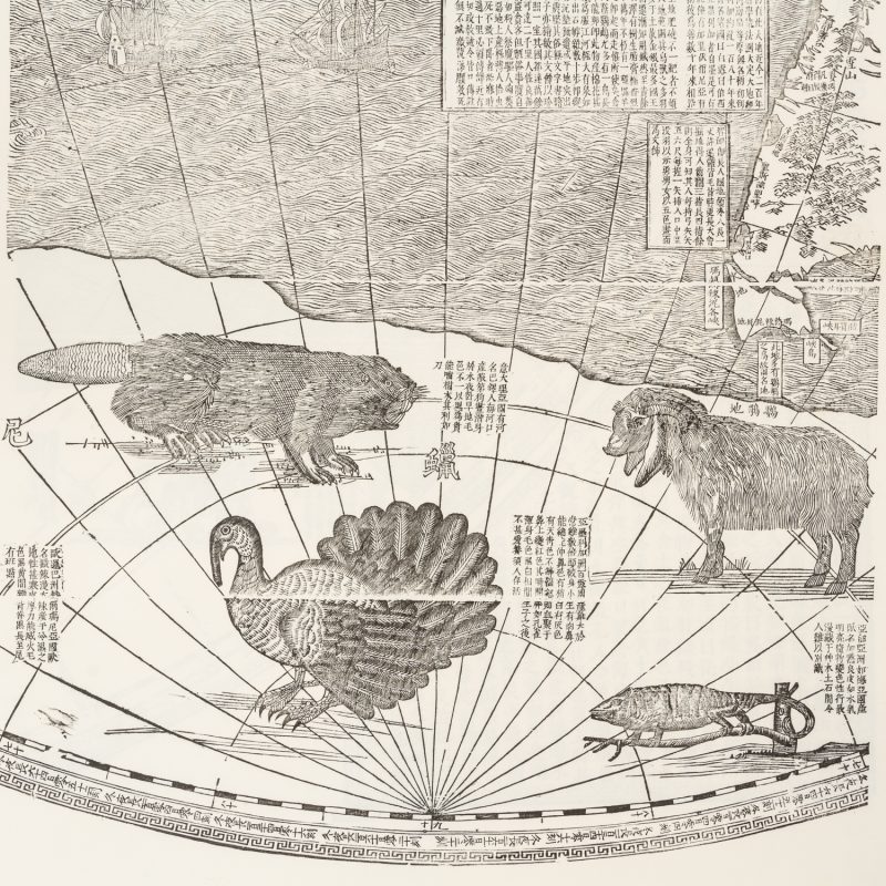
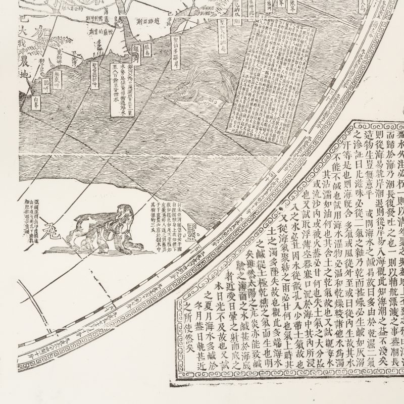
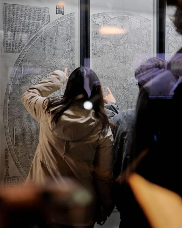
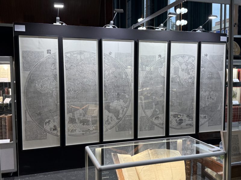
[Korea, between 1860 and 1931; after the original map printed in Peking in 1674]. World map, printed by woodblocks in six sheets, each measuring 182.0 x 57.5 cm; expertly cleaned and lined by paper conservators on Japanese kozo tissue, traces of old fold lines; a superb example with full sheets, untrimmed.
A monumental map of the world, based on both Western and Eastern seventeenth-century geographical knowledge.
In 1674, the Flemish Jesuit missionary and astronomer Ferdinand Verbiest (1623-1688) presented the second Qing Emperor of China, Kangxi, with an enormous manuscript map of the world, oriented with China at its centre. The map, which drew upon both Western and Eastern sources of information, was an updated version of the Ricci world map of equally grandiose proportions, printed in Beijing in 1602. The original manuscript of Verbiest’s map – now lost – was transferred onto woodblocks soon after it was presented to the emperor, and approximately 20 printed examples from 1674 are known to survive. More than simply an exercise in mapmaking, Verbiest’s map was a powerful tool in the cementing of Sino-European relations, for – in contrast to European maps – China is placed at the centre, with the prime meridian running directly through Peking (Beijing), thus endorsing the historical Chinese worldview with itself as the Middle Kingdom (Zhōngguó). The 1674 edition of this map (Kaida A) is of the greatest rarity.
In 1856, the Verbiest map was recut in Canton (Guangdong), where it was printed with a new title cartouche (Kaida B). This edition is so rare that Kaida knows only of a single example. These blocks were then transported to Korea, where they were printed again in 1860 with new cartouches (Kaida C1). After this date, the blocks entered the Education Department of the Korean Government, where 40 copies were printed (Kaida C2). It appears that the present map is an example of this printing (C2); however, the possibility of it being an 1860 printing (C1) cannot be ruled out. Later, in 1931, the blocks were transferred to the Keijo Imperial University Library where 150 copies were initially printed (Kaida C3), followed by a further 138 copies in 1933 (Kaida C4). The woodblocks are now in the collection of the Seoul National University Museum. An extensive illustrated collation of the various printings is contained within Kaida’s detailed reference on Japanese world maps.
Reference:
海田俊一 (KAIDA, Toshikazu). 江戸時代に刊行された世界地図 続編2 [World maps published in Tokugawa Japan, Supplement 2]. Tokyo : Arsmedica, pp. 392-401 (illustrated)

