
# 48656
MEDINA, Pedro de
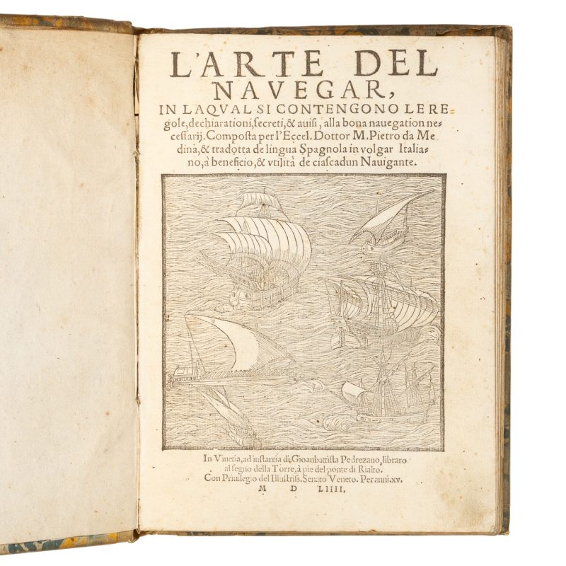
L’arte del navegar, in laqual si contengono le regole, dechiarationi, secreti, & avisi, alla bona navegation necessarij.
$22,500.00 AUD
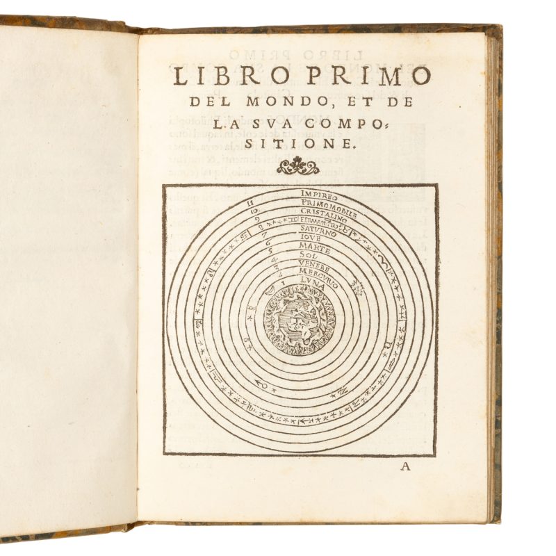
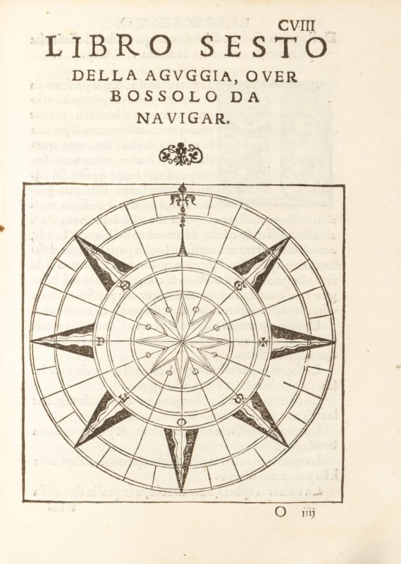
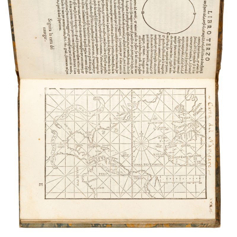
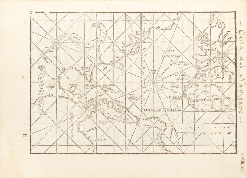
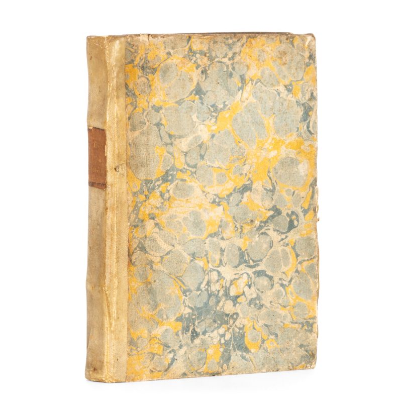
Composta per l’Eccel. Dottor M. Pietro da Medina, & tradotta de lingua Spagnola in volgar Italiano, à beneficio, & utilità de ciascadun Navigante. Venice : Aurelio Pincio for Gioanbattista Pedrezano, 1554. First Italian edition, first issue (with date of 1554 on title-page and in colophon). Small quarto, early vellum over marbled papered boards, spine with gilt-lettered title label; early manuscript title to bottom edge; armorial bookplate with the Borghese coat of arms to front pastedown; ff. [12] (engraved title, privilege, dedication, preface, index and 1 blank), CXXXVII (mis-numbering between ff. XXX and XXXII, LXIX and LXXI, CXXXIIII and CXXXVI); colophon to verso of CXXXVII; with 8 engraved titles (one for each of the 8 Libros), a full-page engraved map (f. XXXIIIr), many woodcut illustrations, diagrams and tables in the text, and historiated initials; some pale water-staining at bottom margins, otherwise a beautifully crisp, clean example.
A major sixteenth-century treatise on navigation by the Spanish cartographer Pedro de Medina (1493-1567). First published in Valladolid in 1545, it was one of the very first manuals solely devoted to the subject, and was produced at a time when Spain had already established the maritime ascendancy which would see its navy continue to dominate the globe for the next two hundred years.
This is the first issue of the first Italian edition, with the title L’arte del navegar in the Venetian dialect.
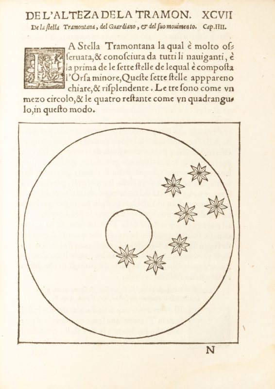
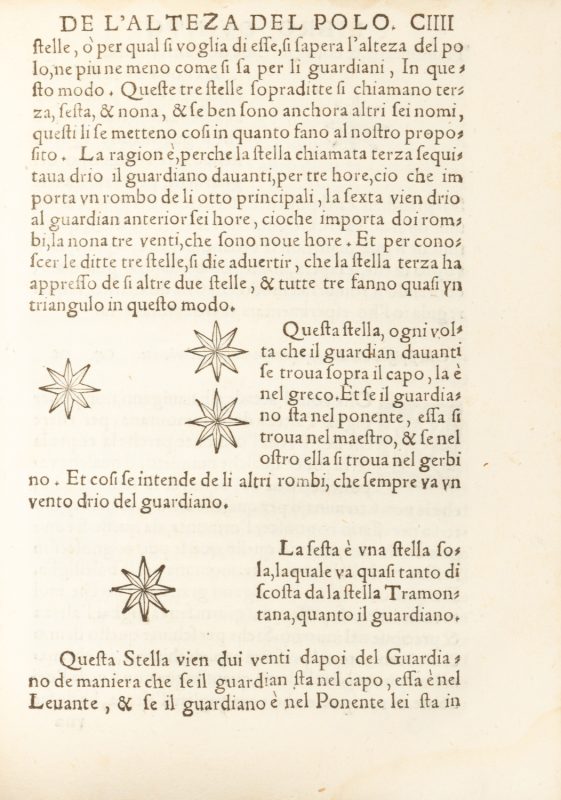
Medina’s work, which was drawn from a variety of sources, is richly illustrated with diagrams, charts and tables that demonstrate the principles and techniques of solar and celestial navigation, and the practical use of instruments such as the astrolabe. The full-page map in the 1554 Italian edition covers a greater region than the original 1545 map, extending to Latitude 75° North in the Arctic Circle, and showing almost the entire west coast of Mexico. The map is dominated by the Tordesillas demarcation line, the meridian which had divided the territories belonging to the Kingdoms of Portugal and Spain in the New World since the Treaty of Tordesillas in 1494.
The importance of L’arte del navegar is underscored by the fact that before 1600 it had been translated into French, Dutch, Italian, and English, and published in multiple editions in each of those languages.
Sabin, 47346


