


# 13310
GOBIEN, Charles le (1653-1708) (compiler); QUERBEUF, Y.M.M.T. de (editor)
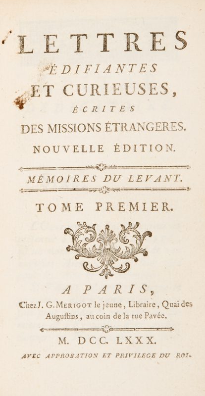
Lettres édifiantes et curieuses, écrites des missions étrangères par quelques missionnaires de la Compagnie de Jésus.
$10,000.00 AUD
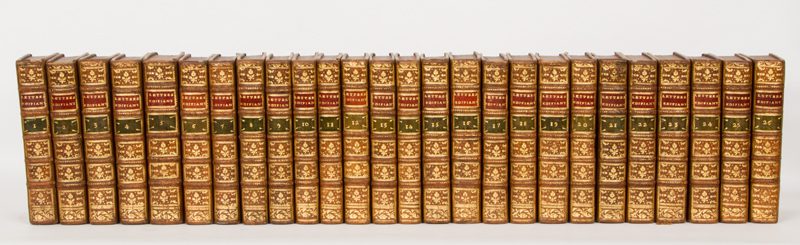
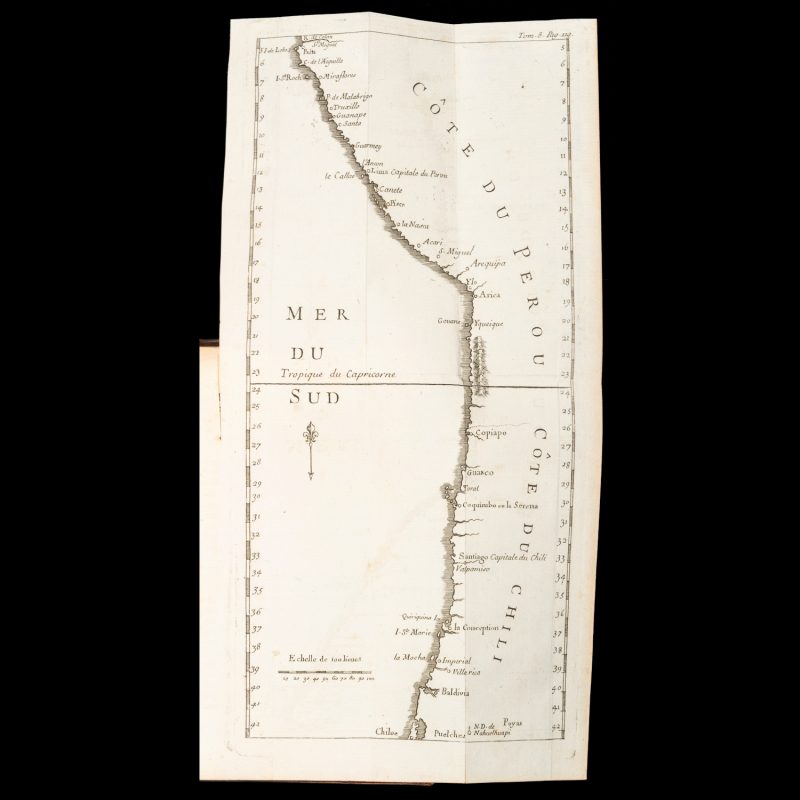
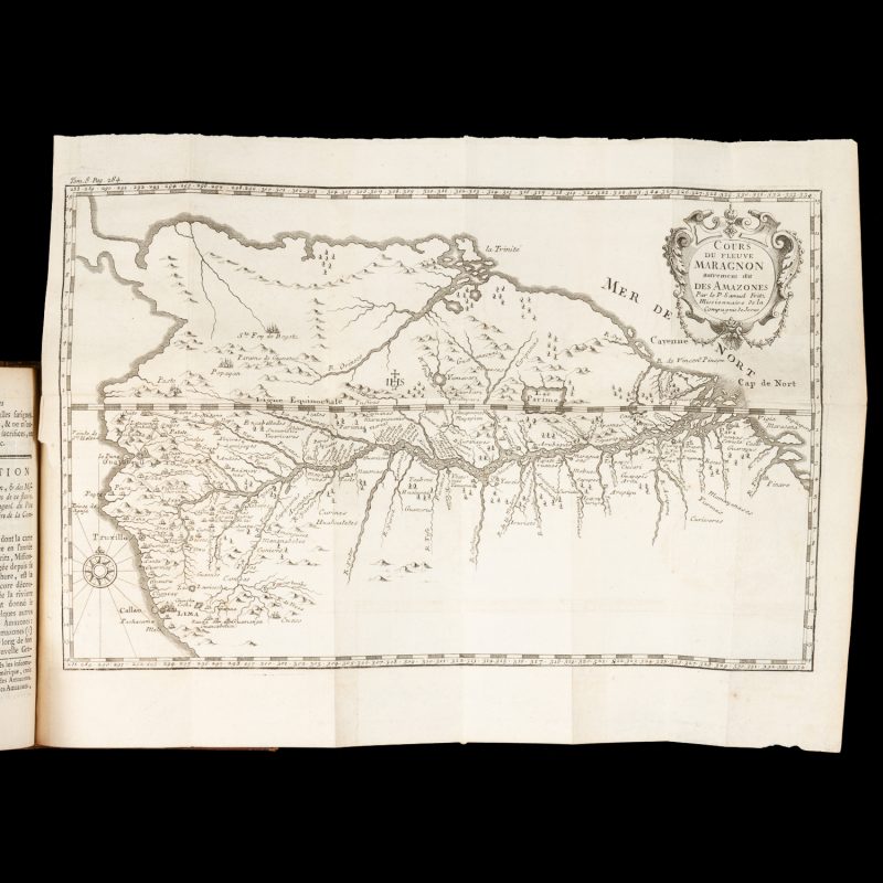
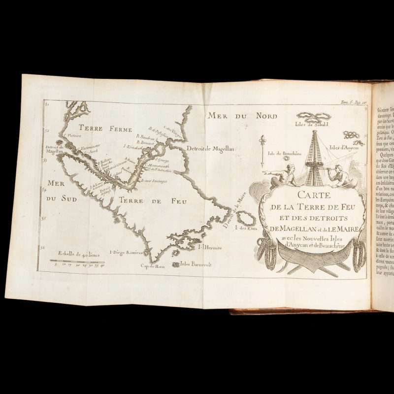
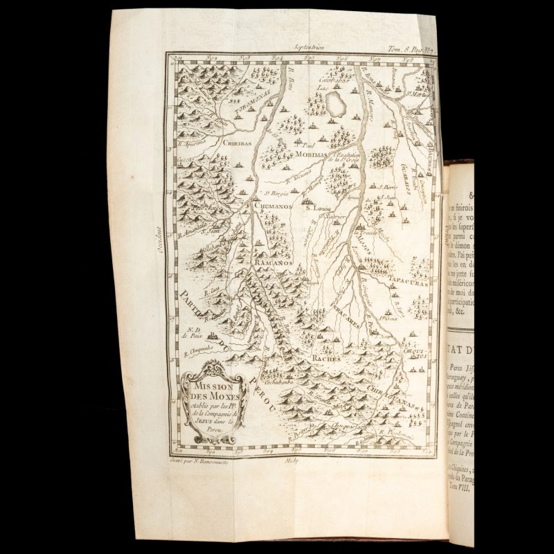
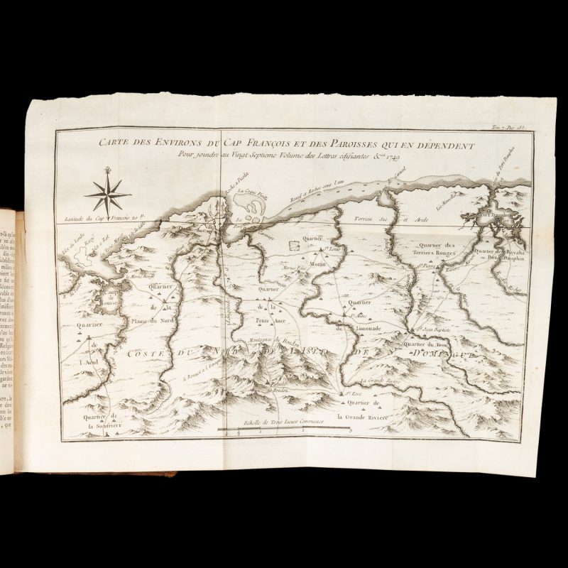
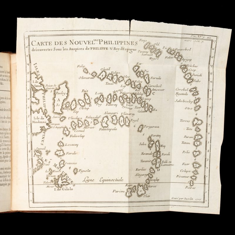
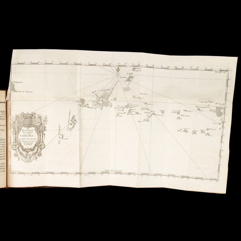
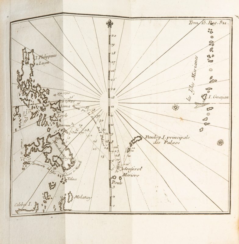
Paris, Chez J.G. Merigot, 1780-1783. Twenty-six volumes, small octavo; contemporary uniform speckled calf, spines in compartments with gilt tooling and contrasting morocco labels; edges stained red; marbled endpapers; pastedowns with armorial bookplate of Rev. G.C. Fenwicke (Franks 10381); with a total of 55 maps, plans, plates and tables hors texte, including 28 folding maps and plans, 24 plates (half of them folding), and 3 folding tables; woodcut decorations; clean and crisp throughout, a fine set in handsome early bindings.
The second French edition, edited and rearranged by Y.M.M. Querbeuf, of an important collection of letters written by Jesuit missionaries in the sixteenth and seventeenth centuries from missions around the globe, compiled by le Gobien, du Halde and Patouillet, and originally published in Paris in thirty-four volumes between 1702 and 1776.
“This set is the most important French edition of the Jesuit letters. It was reprinted in French as well as in various other languages. The Lettres are the most valuable 18th-century source on Jesuit activities in frontier regions throughout the world. The second edition is generally preferred to the original, because it has the advantage of being systematically arranged. The last two volumes, forming a supplement, appear here for the first time” (Hill).
Contents: Volumes 1-5 Mémoires du Levant; 6-9 Mémoires d’Amérique; 10-15 Mémoires des Indes; 16-24 Mémoires de la Chine, &c.; 25-26 Mémoires des Indes et de la Chine.
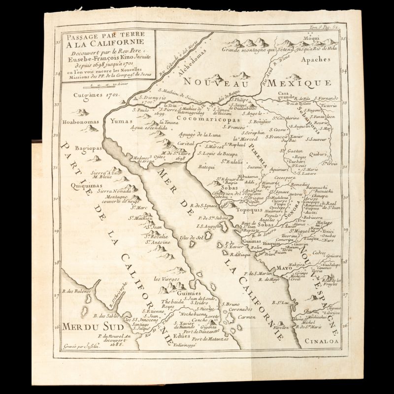
The American volumes notably include the highly significant map of California by Father Eusebio Francisco Kino (third French printing) – the first to show California not as an island but as a peninsula – as well as the letter of Father Francisco María Píccolo containing the earliest description of California.
Cordier, BS, 930; Sabin, 40698; Hill, 460; de Backer-Sommervogel, VI, 1335; Wagner, Cartography of the Northwest Coast, 483; Howes, L-299 (calling for 56 maps and plates, although the number seems to vary from set to set)


