


# 49554
WYLD, James
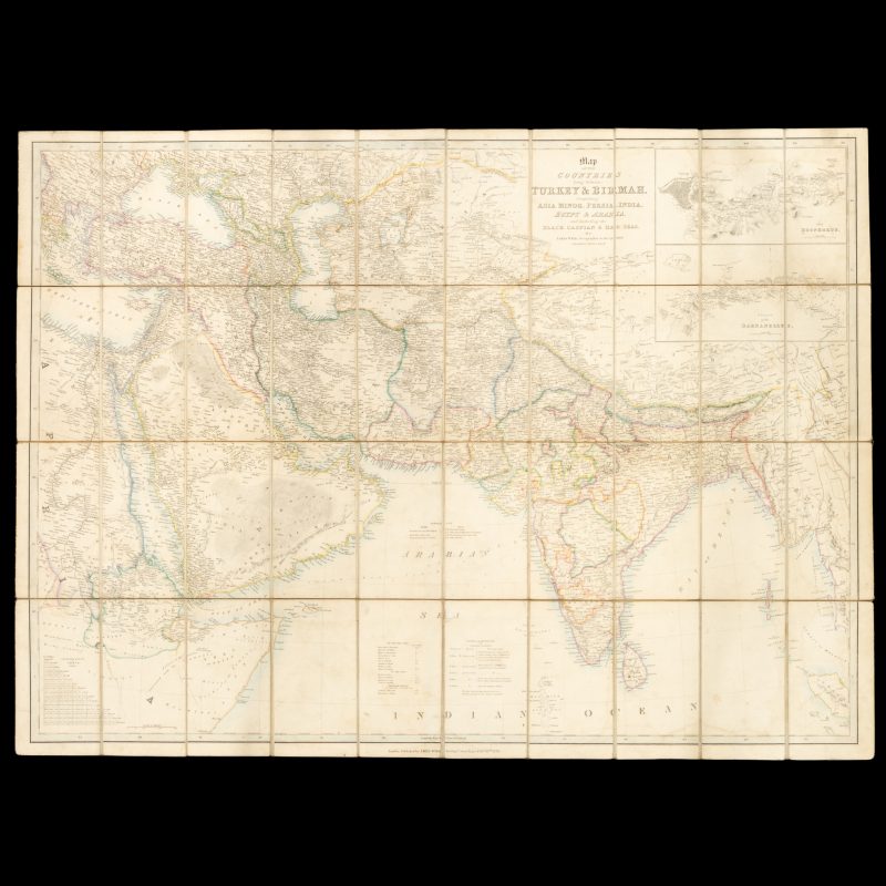
Map of the countries lying between Turkey & Birmah, comprising Asia Minor, Persia, India, Egypt & Arabia, and including the Black, Caspian & Red Seas
$950.00 AUD
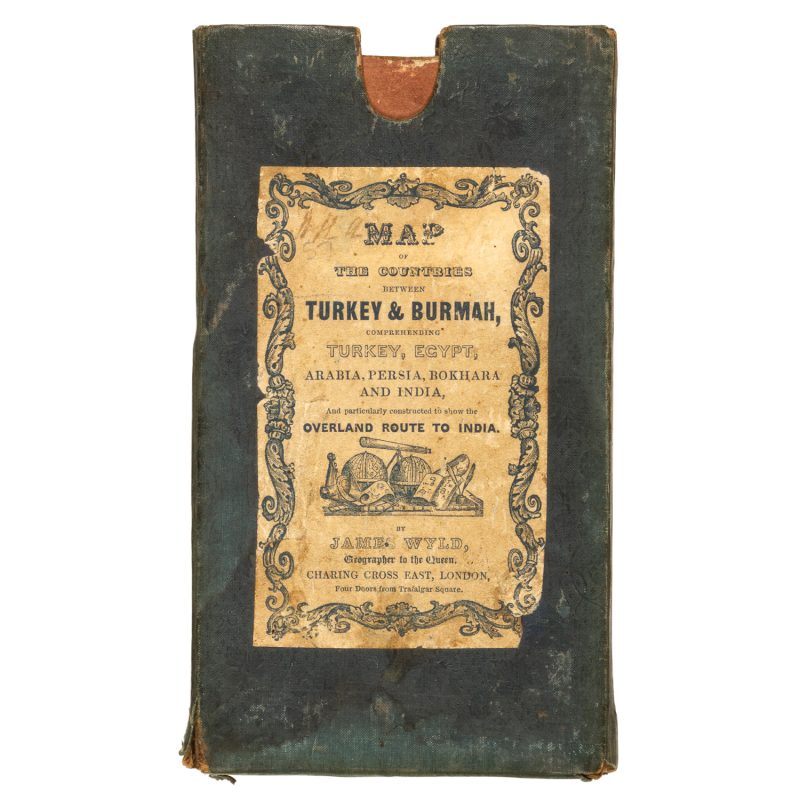
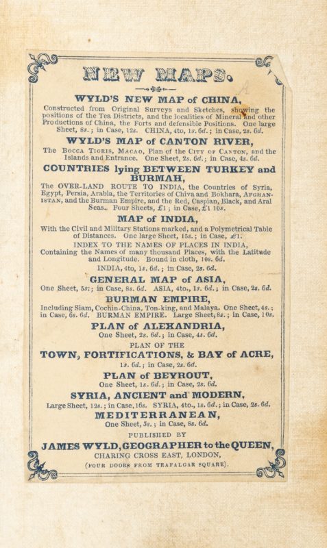
[Cover title : Map of the countries between Turkey & Burmah, comprising Turkey, Egypt, Arabia, Persia, Bokhara and India, and particularly contract dot show the Overland Route to India]. London : James Wyld, 1839. Engraved map with original outline hand colouring, dissected and laid on linen, 78.5 x 10⁸ cms, a few light stains, printed advertisement for other maps by Wyld, in the original cloth slipcase (edges worn) with printed title label showing an illustration of globes and other cartographical objects. A very good example.
A fascinating and highly detailed map of Arabia, the Persian Gulf, and India, extending from south Eastern Europe and Egypt to Tibet and Burma including including inset maps of the Bosphorus and the Dardanelles, with a table showing the number of miles from various destinations on the overland route to India. In the Persian Gulf, the towns of Manama in Behrein (Bahrain), Debai (Dubai), El Billah (Al Bidda, or modern day Doha), Abothubbee 9Aby Dhabi), Sharja (Sharjah), Aymaun (Ajman) and Muscat are marked on the map, along with the Great Pearl Bank and observations on winds throughout the year. On the Arabian Peninsula, the cities of Mekka (Mecca), Medina and Djidda or Juddah (Jedda) are marked, as well as the steam boat track from the port of Aden to Bombay.

