


# 12409
Antonio de Herrera y Tordesillas; Petrus Bertius; Pedro Ordóñez de Cevallos
Novvs orbis, sive Descriptio Indiae Occidentalis, auctore Antonio Herrera …
$18,500.00 AUD
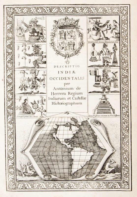
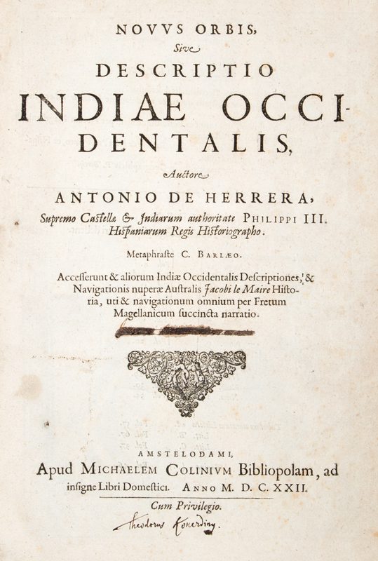
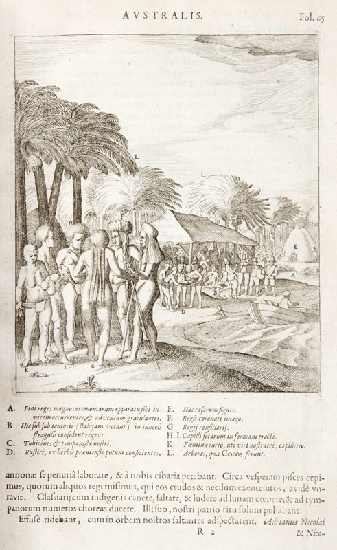
Metaphraste C. Barlaeo. Acc. et aliorum Indiae e Occidentalis descriptiones et navigationis nuperae Australis Jac. le Maire historia, uti et navigationum omnium per Fretum Magellanicum succincta narratio. Also titled: Descriptio Indiae Occidentalis per Antonium de Herrera Regium Indiarum et Castellae Historiographum. Amstelodami [Amsterdam] : Colinius [Colijn, Michiel], M. D. C. XXII [1622]. Three works bound in one, folio, contemporary limp vellum; [4], 81 [i.e. 82, 1], 9, 11 ff; title-leaf with printer’s device and early ownership signatures; second title-leaf with engraved vignette illustrations; 5 copper-engraved illustrations (lacking the portrait of Le Maire, present in some copies but not called for in the list of plates) and 17 double-page engraved maps; front free-endpaper roughened at bottom edge and with short tear at fore-edge; occasional spotting, some browning at bottom margins of first section, mild damp-staining to fore-edge margins of last few leaves; a very good large paper copy; housed in a custom clamshell box, half calf over cloth, spine with raised bands and red morocco label in gilt.
The first edition in Latin of three works by Herrera (incorporating Le Maire’s account), Ordóñez de Cevallos, and Bertius.
The Amsterdam printer, Michel Colin, published collected editions of the three works in Dutch, Latin and French in 1622.
Contents: I.Antonij de Herrera, Indiae Occidentalis descriptio.–II.Historia navigationis australis ductu & moderamine Iacobi le Maire institutae.–III. Descriptio omnium quotquot in hunc usque diem per Fretum Magellanicum institutae sunt navigationum.–IV. Itinerarium Indiae Occidentalis auctore Petro de Cevallos, presbytero, ex Hispanico latinitate donatum.–V.Descriptio Americae excerpta ex Tabulis geographicis P. Bertij.
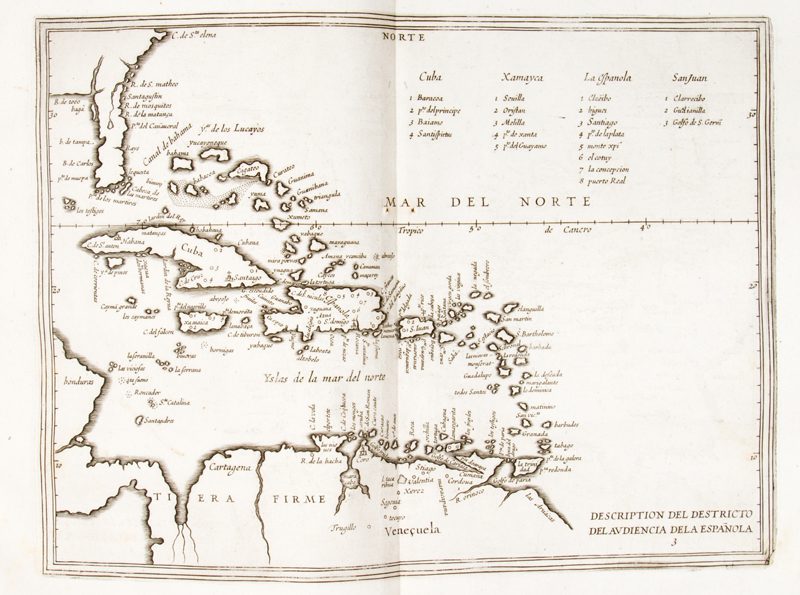
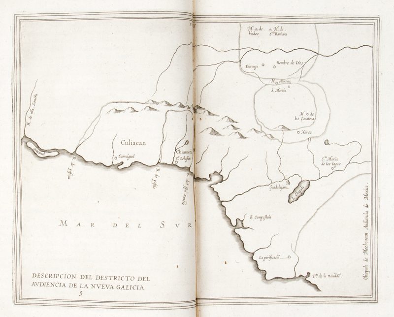
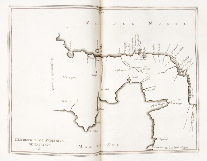
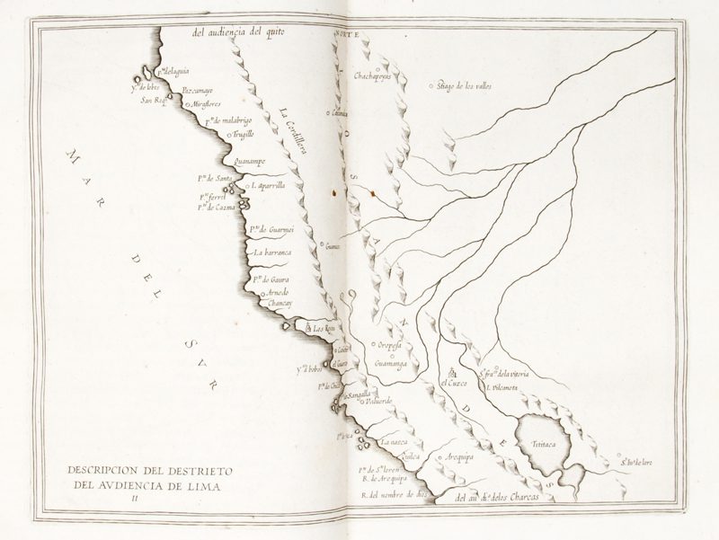
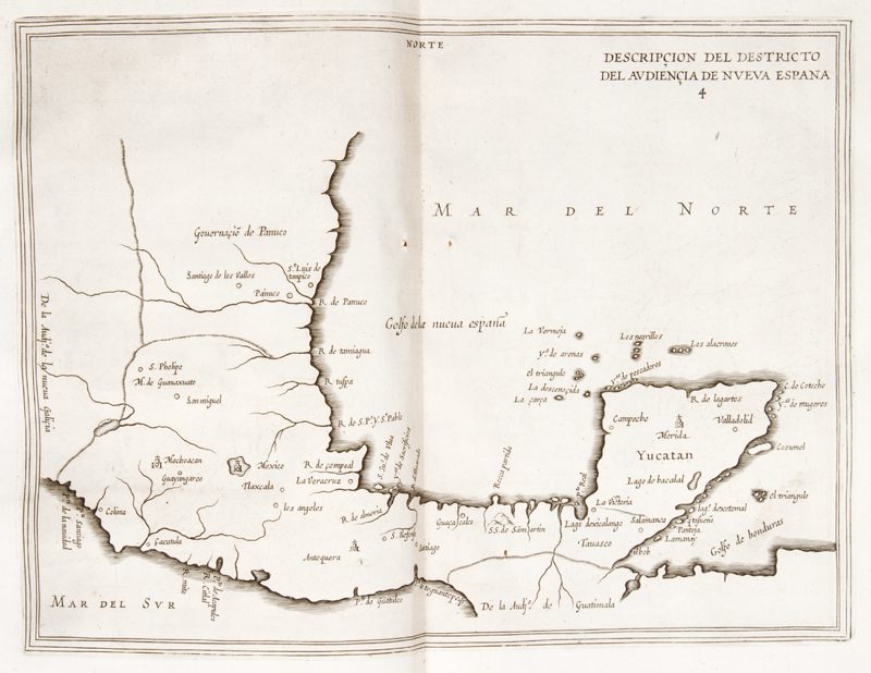
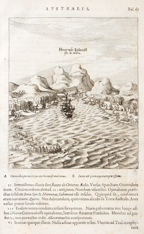
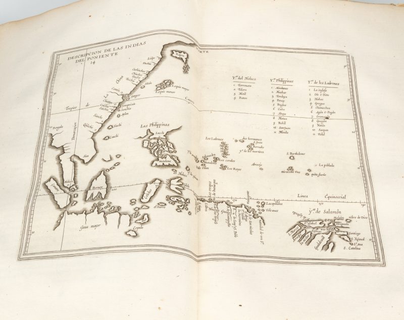
Herrera’s Indiae Occidentalis descriptio comprises the first comprehensive account of the circumnavigation by the Le Maire-Schouten expedition in search of Terra Australis (1615-1617), which was the first to discover and round Cape Horn. Le Maire’s alternative route to the East Indies managed to avoid using the Cape of Good Hope or the Straits of Magellan, and thus did not contravene the Dutch East India Company’s charter which stipulated that no other Dutch trading company could use those two particular routes to reach the East Indies. Indiae Occidentalis descriptio had first been published in Spanish in Madrid in 1601 (Descripcion de las Indias Occidentales), but Colin’s 1622 editions (Dutch, Latin and French) provided the public with a revised and expanded version of this important work by the official historian to the royal court of Spain. This 1622 edition contains numerous significant early maps of Central and South America and its Pacific Coast, as well as a map that centres around Philippines, Moluccas and Ladrones, which includes Siam, China and Japan.
Chapter 26 of Herrera’s Indiae Occidentalis descriptio (comprising five pages) has brief descriptions of the Moluccas, the Philippine Islands, Luzon (treated as a separate entity), China, and Japan. Chapter 27 (three pages) describes New Guinea, the Solomons and the Ladrones. Chapters 28-31 give an account of the structures of the Council of the Indies and the ecclesiastical hierarchy in Spanish possessions, and examine how they interact with one another.
Herrera’s third section covers briefly all the voyages that have passed through the Strait of Magellan:
Medina, BHA 455n; Sabin, 31540
