
# 49207
RAND McNALLY
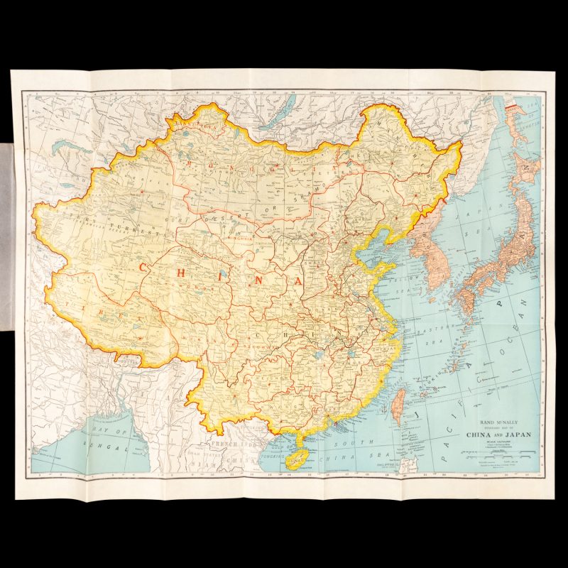
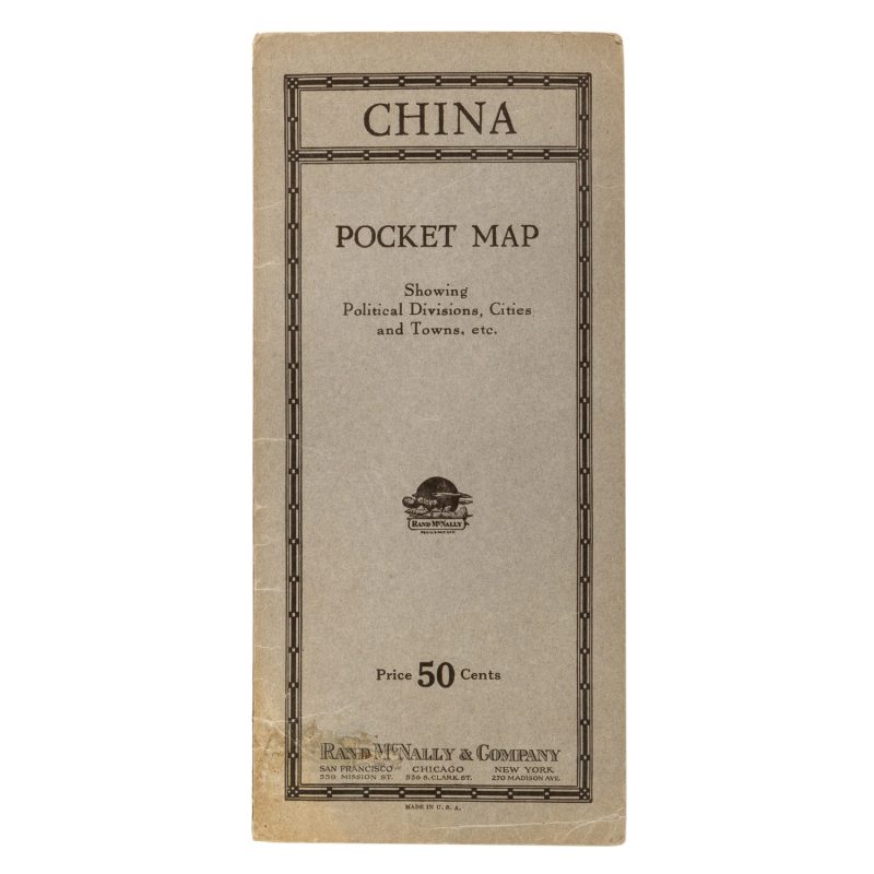
Rand McNally Standard Map of China and Japan
$550.00 AUD
Chicago : Rand McNally, circa 1910. Map, printed in colour, 535 x 670 mm, folded as issued, in letters card wrappers, showing China, Korea (Chosen) and Japan, the verso with an extensive list of place names, a fine example.
This scarce map shows Japanese controlled or annexed areas in Chosen (Korea), Taiwan and Karafuto & Riukiu Islands [Okinawa].


