
# 47042
[Anon.]
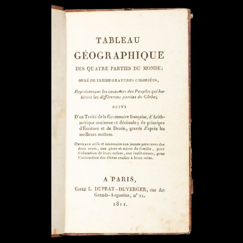
Tableau géographique des quatre parties du monde;
$1,850.00 AUD
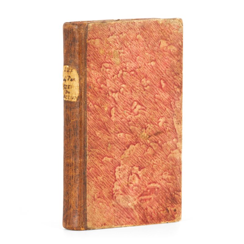
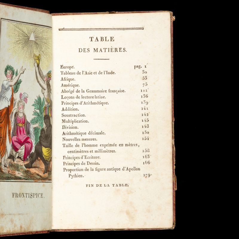
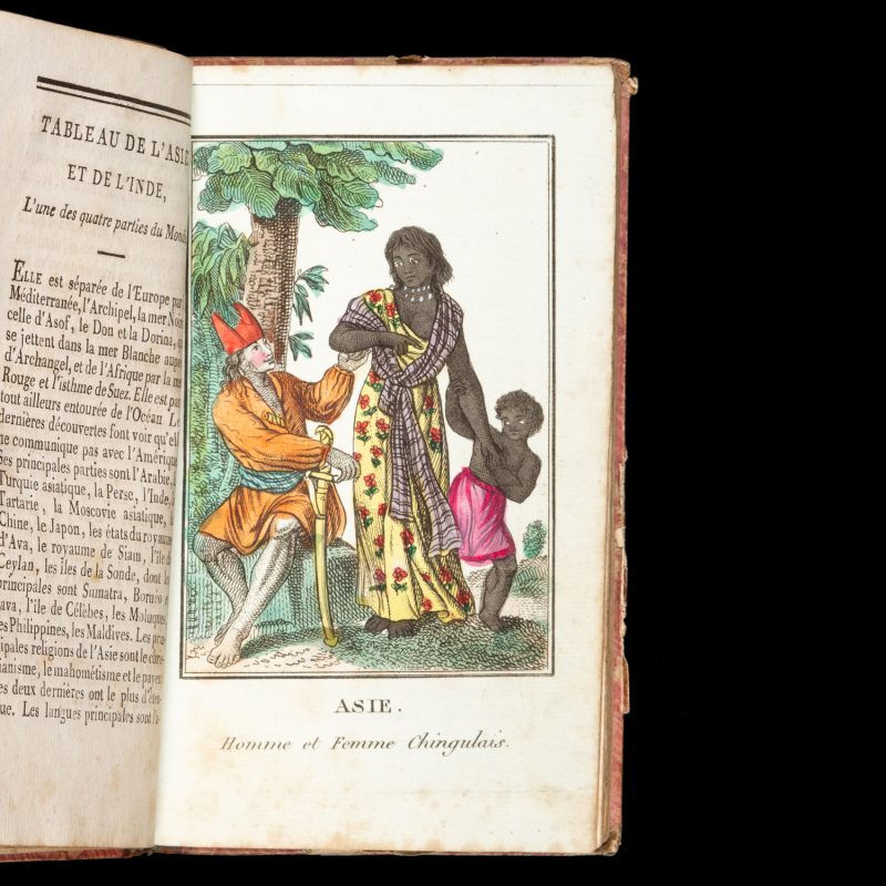
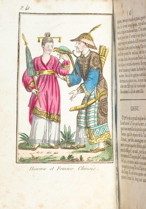
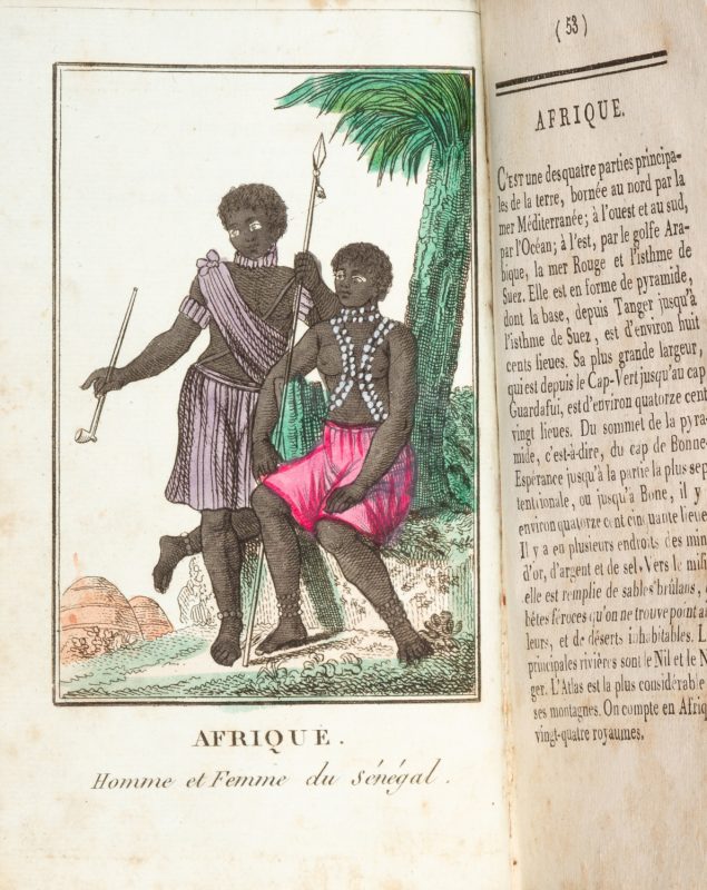
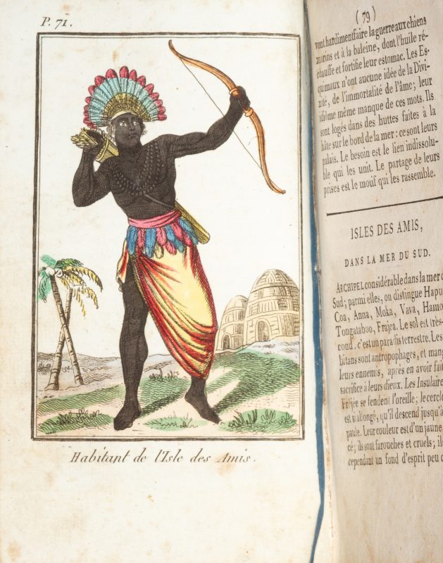
orné de treize gravures coloriées, représentant les costumes des Peuples qui habitent les différentes parties du Globe; suivi d’un Traité de la Grammaire française, d’Arithmétique ancienne et décimale; de principes d’Écriture et de Dessin, gravés d’après les meilleurs maîtres … … A Paris : chez L. Duprat-Duverger, rue des Grands-Augustins, n. 21, 1811. Duodecimo (170 x 110 mm), contemporary half calf over marbled papered boards (rubbed, edges slightly worn), spine with early manuscript title label; ff. [4] (half title, title, coloured engraved frontispiece, Table des matières), pp. iv, 179, with [23] ff. of plates (including 1 folding) and [13] coloured engraved plates (including frontispiece); scattered foxing and occasional ink marks, but an attractive example in a fully contemporary binding.
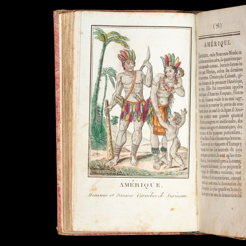
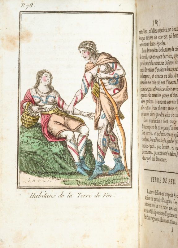
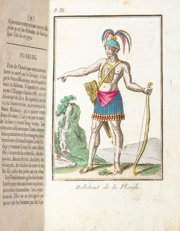
The first (and principal) part of this pedagogical publication is a child’s geography which attempts to provide an overview of the peoples of the known world, describing their manners and customs. Some of these peoples are depicted in the thirteen colourful yet fanciful illustrations that accompany the text. The four regions alluded to in the title are Europe, Asia, Africa and America; however, Oceania is represented in the section Amerique, through the inclusion of a three-page description, accompanied by a plate, of the Friendly Isles (Tonga). Among the other engraved plates are depictions of the indigenous inhabitants of Florida, Tierra del Fuego, China, Ceylon, Senegal, Persia, Turkey, Russia, and Spain.
The geography is followed by short primers in French grammar, arithmetic, penmanship, and drawing.
No copy traced in Australian libraries.

