
# 43594
JOHNSTON, Keith, 1844-1879
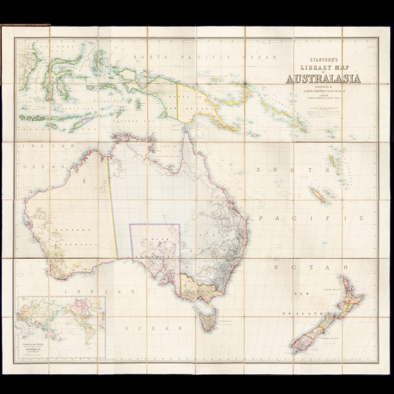
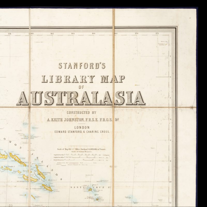
Stanford’s Library Map of Australasia constructed by A. Keith Johnston F.R.S.E., F.R.G.S. &c.
$9,500.00 AUD
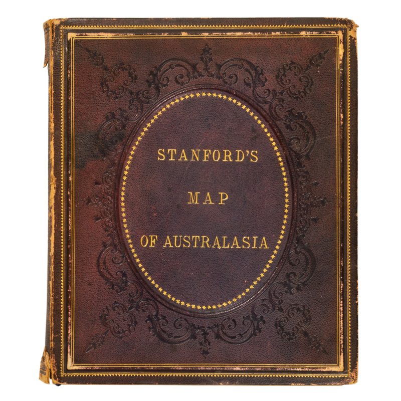
Cover title: Stanford’s map of Australasia. London : Edward Stanford, [1859]. First edition. Steel-engraved map with hand colouring, total dimensions 1550 x 1740 mm, dissected into 48 sections, laid onto linen edged with blue silk, folding to 255 x 215 mm, housed within original embossed brown morocco boards with gilt lettering and ornament (rubbed, spine frayed at head and tail), inner front board with Harry Soane-designed pictorial bookplate of the Library of The Church House (Dean’s Yard, Westminster), ‘Presented by Mrs Tufnell A.D. 1897’; map engraved by W. & A.K. Johnston, Edinburgh; a near fine example of this truly monumental map (scale ca. 1:4 200 000), the original colouring still strong and vibrant. In this example, the printed date of 1859 has been erased.
The latest explorer’s track shown in this first edition of Stanford’s celebrated map is that of A. C. Gregory (1858). The map also indicates railways, roads, and submarine telegraph lines. Relief is shown by hachures. The map includes the eastern part of the Malay archipelago, New Guinea, New Britain, New Ireland, the Solomons, the New Hebrides and New Caledonia.
Three copies of the 1859 edition are recorded in Australian collections (National Library of Australia; State Library of New South Wales; University of Queensland Library).
