
# 45543
TARDIEU-DENESLE, Madame; MAIRE, Nicolas
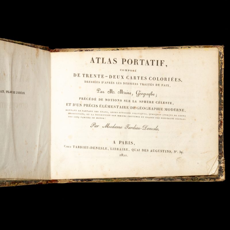
Atlas portatif, composé de trente-deux cartes coloriées,
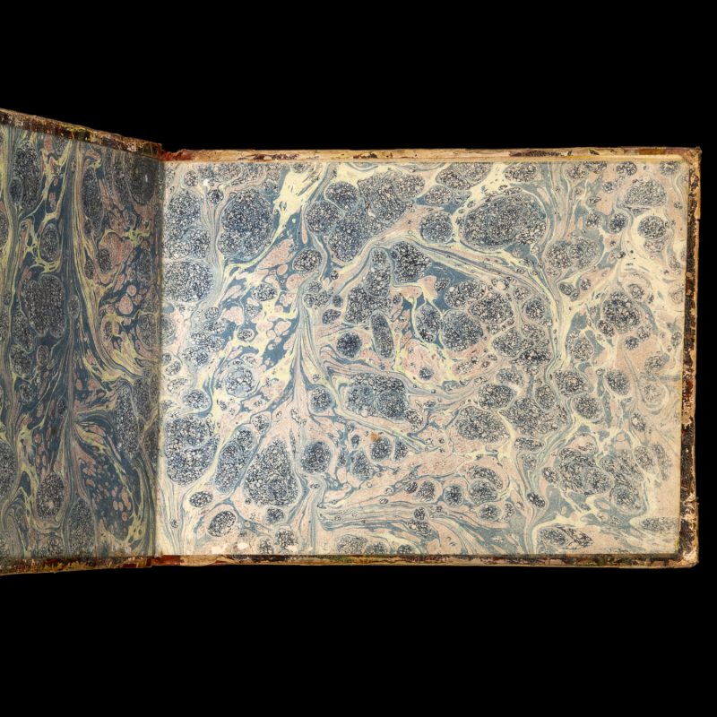
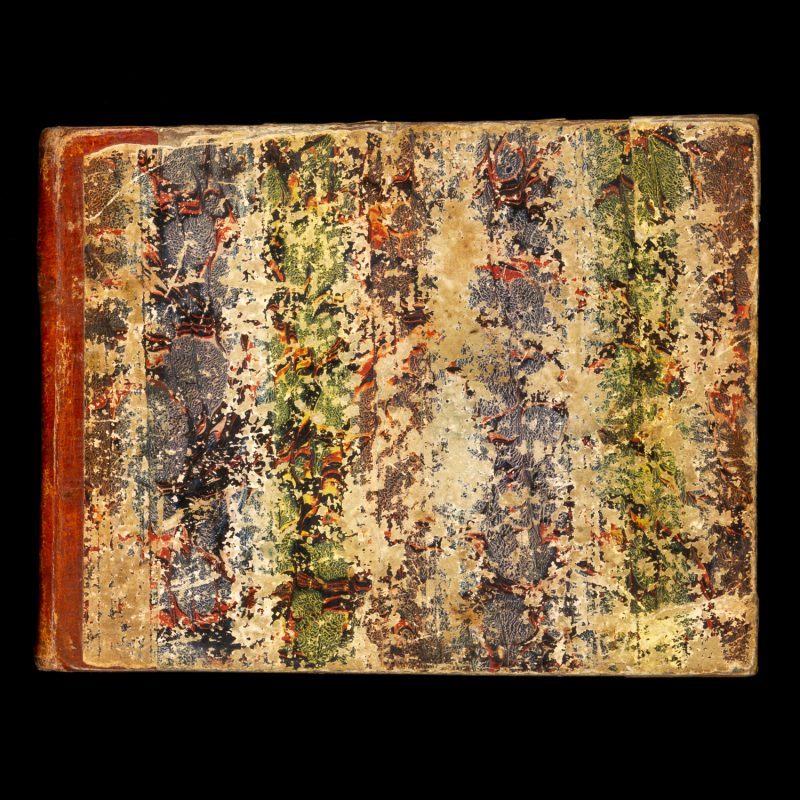
dressées d’après les derniers traités de paix, par M. Maire, géographe; precédé de notions sur la sphère céleste, et d’un précis élémentaire de géographie moderne … … par Madame Tardieu-Denesle. Paris : chez Tardieu-Denesle, libraire, quai des Augustins, no. 37. Oblong octavo (145 x 185 mm), original quarter calf over papered boards (worn), spine with gilt lettering, bands and ornament; the text block inverted in the binding; original marbled endpapers, verso of front endpaper with early ownership inscription of ‘Mlle. Angèle Borry’; half title leaf, title leaf, pp. 142, [1 Table des Cartes], followed by 32 hand-coloured copperlate maps; preliminary leaves with light vertical crease, scattered foxing (mostly confined to the text pages), the maps generally bright and in very good condition (several with marginal spotting and/or light handling marks), rear hinge cracked.
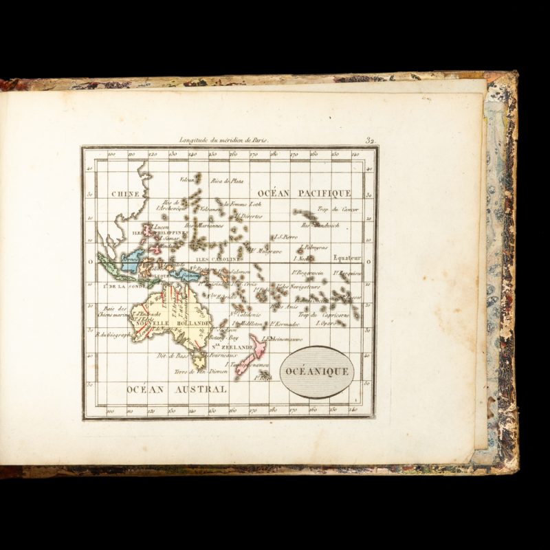
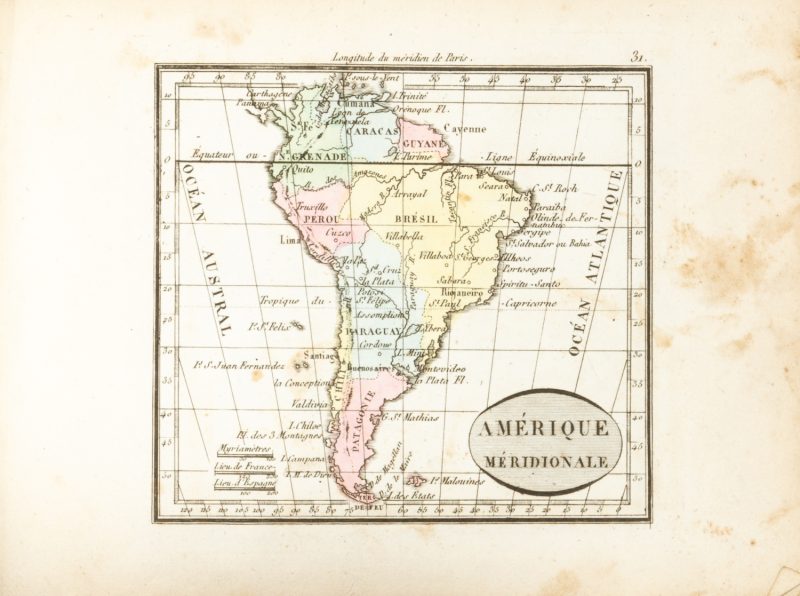
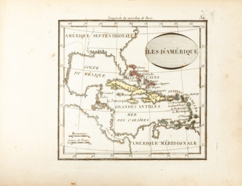
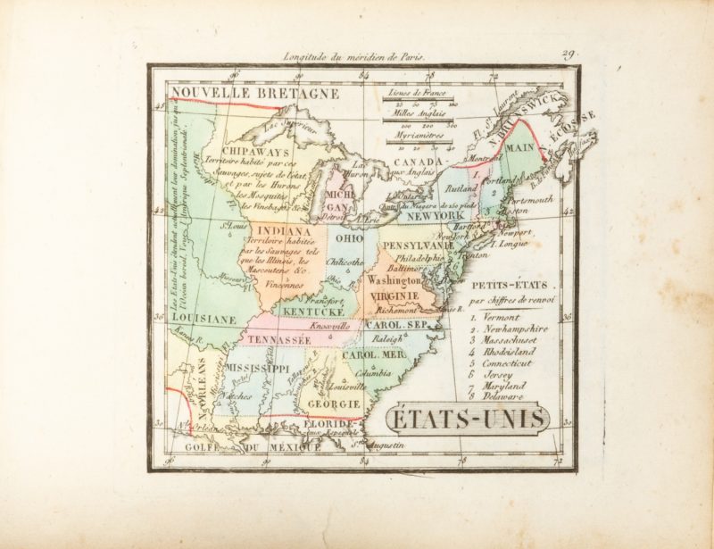
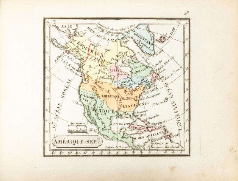
An attractive French portable world atlas from the post-Napoleonic era, with maps by Nicolas Maire, royal engineer and geographer to King Louis XVIII. The text includes descriptions of the Terres Océaniques, Polynésie Boréale, and Polynésie Australe. Among the 32 maps are a Mappemonde and maps of the Hemispheres, Oceania, the Americas, Africa, China, India, etc.
