
# 47166
SANDS & McDOUGALL
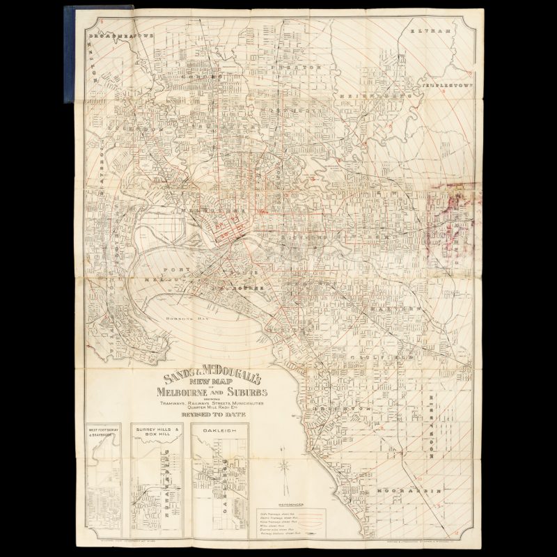
Sands & McDougall’s map of Melbourne and suburbs : showing tramways, railways streets, municipalities quarter mile radii etc. Revised to date
$880.00 AUD
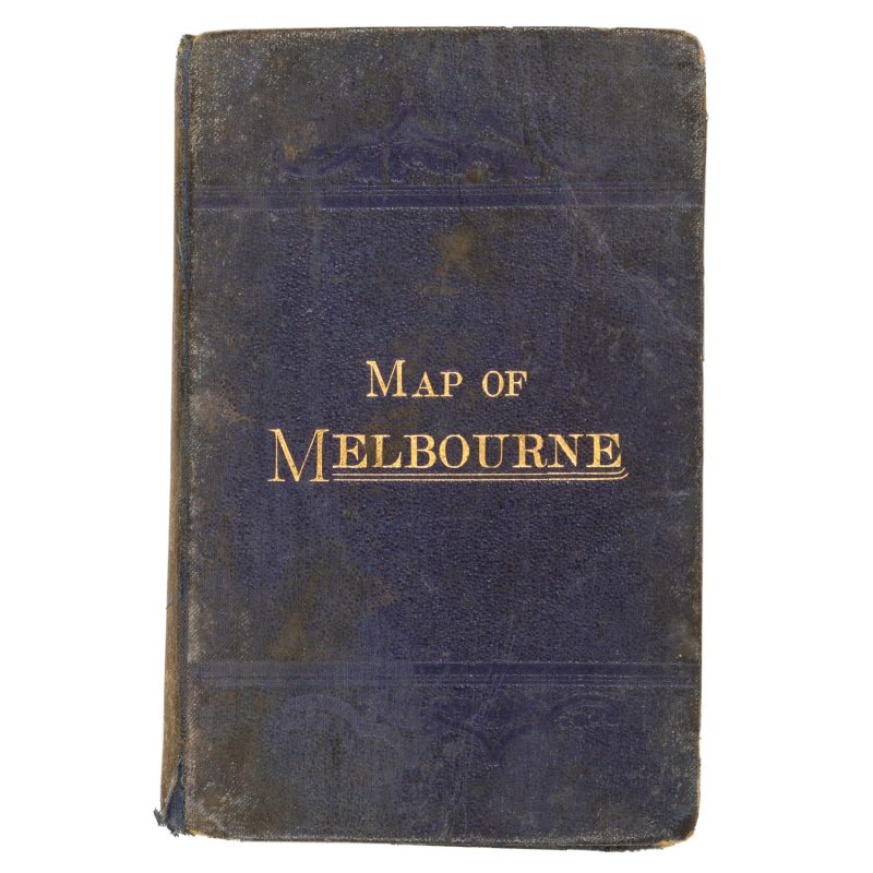
[Cover title : Map of Melbourne]. Melbourne : Sands & McDougall Pty. Ltd., [circa 1911]. Lithographed map, printed in black with red concentric circles, 98 x 74 cm, folded into titled cloth case, lightly marked, offsetting to one panel from the cloth case, a very good copy.
An attractive street map of Melbourne extending from Broadmeadows to Moorabbin, and from Williamstown to Eltham, showing distances from central Melbourne in concentric circles at one-and-a-quarter mile intervals. Included are three inset maps: West Footscray & Braybrook; Surrey Hills & Box Hill; Oakleigh.
Two copies recorded in OCLC: Victoria University and the State Library of Victoria.

