
# 47013
ETHERIDGE, R. (Robert), junior (1846-1920)
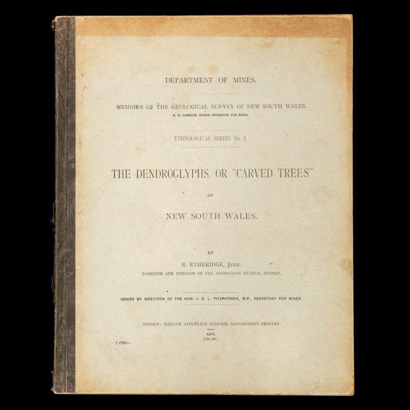
The dendroglyphs, or “carved trees” of New South Wales.
Sydney : Dept. of Mines, 1918. Series: Memoirs of the Geological Survey of New South Wales. Ethnological series, no. 3. Large quarto (305 x 240 mm), publisher’s cloth-backed printed papered boards (sunned at edges and lightly marked); hinges cracked; front free-endpaper with gift inscription in Welsh for Australian archaeologist and anthropologist Betty Meehan, dated May 1969, and with her ownership signature; frontispiece portrait of Edmund Milne, Chief Commissioner for Railways and Tramways, New South Wales, pp. vii, 104, plus 39 unnumbered leaves of b/w photographic plates (including 1 folding map); occasional pencilled marginalia, some pale foxing to the outermost leaves, else internally excellent, a good copy.
An important census of all known Aboriginal carved trees in New South Wales.
‘Terminology, early accounts, classification, glossary of terms; taphoglyphs, use as grave markers, method of carving, how situated, numbers to an interment, position in relation to graves, comparison of designs, comparison with designs on weapons & implements, meaning, antiquity, distribution – 64 N.S.W. specimens; described (with locations noted on map at end), others Goulburn River district, Wide Bay, Diamantina River; teleteglyphs, uses, how carved, sizes, sites, number to a particular site, position on bora ground, designs, distribution – 32 sites in N.S.W. described (locations noted on map), others Queensland; burial posts – Melville & Bathurst Islands; comparison with other races as source of culture; Appendix III – stone structures, circles lower Murray River, Lake Macquarie, Mount Elephant plains, Coopers Creek, Rawlinson Range; mounds & heaps – between Glenelg River & Hanover Bay, Gordons Springs, north shore of Botany Bay; cairns – Cape York Island; plates show example of standing carved trees, illustrations of designs, plan of bora ground, Dumiendi Holding, showing location of trees.’ (Trove)
